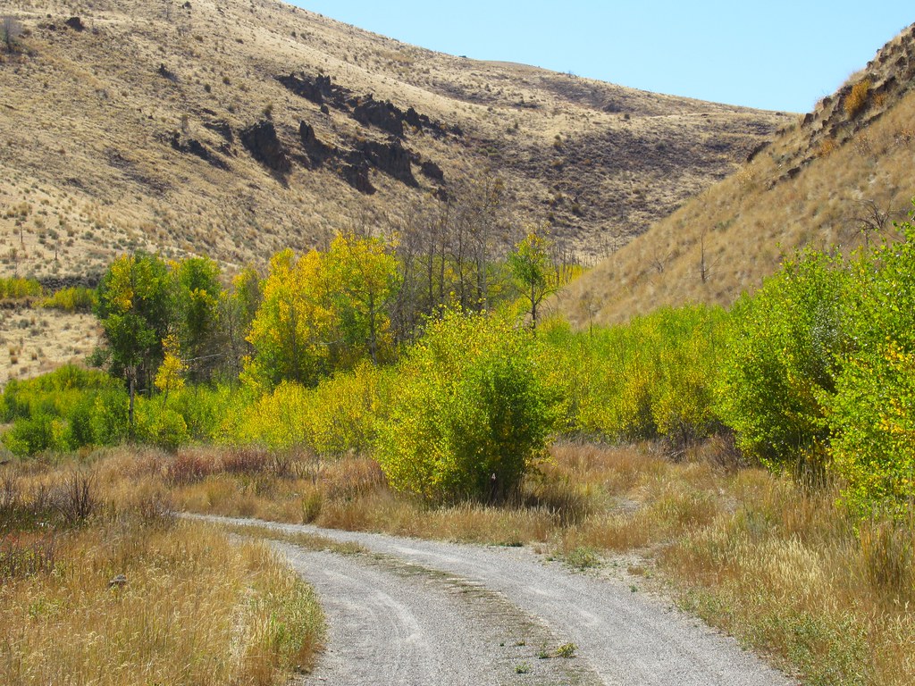
The TransAmerica Trail (TAT) is the ultimate cross-country off-road adventure, stretching from the Atlantic Ocean in North Carolina to the Pacific Coast in Oregon. This route covers thousands of miles of diverse terrain, ranging from challenging mountain trails to sandy deserts and dense forests. Originally designed for dual-sport motorcycles, the TAT has become a bucket-list journey for 4×4 enthusiasts seeking a true test of their skills and their vehicle’s capabilities. In this guide, we’ll cover the key sections of the trail, recommended gear, difficulty ratings, and essential tips for making the most of your TransAmerica Trail adventure.
Table of contents
TransAmerica Trail Overview
The TransAmerica Trail (TAT) is a dream journey for many off-road enthusiasts, spanning over 5,000 miles of scenic and challenging trails across the United States. Designed for dual-sport motorcycles and 4×4 vehicles, the TAT offers a mix of terrain, from dirt roads and forest paths to rocky sections and remote backcountry routes.
Highlights of the TAT:
- Route: The TAT stretches from the Atlantic Coast in North Carolina to the Pacific Ocean in Oregon, crossing multiple states like Tennessee, Mississippi, Colorado, and Utah.
- Terrain: The trail includes everything from gravel and sand to rocky ascents and muddy sections, requiring capable vehicles and skilled navigation.
- Scenery: It showcases the diverse beauty of America, including mountains, deserts, plains, and woodlands, making it a visual feast for adventurers.
Vehicle Preparation:
A well-prepared vehicle is essential to tackle the TAT. Here are some must-have upgrades and accessories for your 4×4:
- Heavy-Duty Bumpers: Products like the Warn 105785 Bumper are invaluable for front-end protection and winch compatibility.
- Winch System: A winch ensures recovery options in challenging spots, especially during solo trips.
- Off-Road Tires: All-terrain or mud-terrain tires provide better traction on various surfaces.
- Suspension Upgrade: Enhanced suspension improves ground clearance and ride comfort.
- Lighting: Auxiliary lights or LED light bars are critical for night driving or low-visibility conditions.
- Roof Rack or Storage Solutions: Essential for carrying camping gear, tools, and other supplies.
Essential Gear for the TAT:
- Navigation Tools: GPS devices with offline maps or a detailed guide like the official TAT map set.
- Camping Equipment: A tent, sleeping bag, portable stove, and food supplies for overnight stays.
- First Aid Kit: Safety should always come first on such remote trails.
- Repair Tools and Spare Parts: Carry essential tools, spare tires, and fluids for quick fixes.
Tips for Success:
- Plan Your Route: Research state-specific laws and conditions for off-road trails.
- Check Weather Conditions: Be prepared for sudden changes in weather, especially in mountainous or desert areas.
- Travel in Groups: While solo trips can be exciting, traveling with others adds a layer of safety.
- Respect the Environment: Stick to marked trails and practice “Leave No Trace” principles to preserve the wilderness.
Location: Atlantic Coast (Nags Head, NC) to Pacific Coast (Port Orford, OR)
Coordinates: Starting point in North Carolina: 35.9674° N, 75.6242° W; Ending point in Oregon: 42.7457° N, 124.4977° W
Trail Length: Approximately 5,000 miles
Elevation: Ranges from sea level to over 12,000 feet in the Rocky Mountains
Difficulty: Varies from Easy to Difficult depending on the region and weather conditions.
Overview: The TAT is a long-distance off-road route that passes through 10 states, offering a mix of forest trails, mountain passes, desert tracks, and rural backroads. Along the way, travelers will encounter remote towns, historic landmarks, and breathtaking landscapes that showcase America’s diverse beauty. The trail is typically best attempted during the summer months to avoid snow at higher elevations.
Trail Sections and Difficulty Ratings
North Carolina to Tennessee

Difficulty: Easy to Moderate
Terrain: Gravel roads, forest trails, river crossings
Trail Length: Approximately 500 miles
Overview: The adventure begins in North Carolina’s coastal area and progresses through the Appalachian Mountains. This section includes winding gravel roads and gentle forest trails, offering a scenic introduction to the trail.
Recommended Gear:
- All-Terrain Tires: 31-inch or larger for better traction on gravel roads.
- Portable Air compressor: Useful for adjusting tire pressure.
- Waterproof Gear: Essential for river crossings and rainy conditions.
Tennessee to Arkansas

Difficulty: Moderate
Terrain: Forest roads, steep inclines, river crossings
Trail Length: Approximately 600 miles
Overview: This section takes you through the Ozark Mountains, where the trails become more challenging with steep inclines, tight forest paths, and occasional river crossings. The remote nature of this stretch requires self-sufficiency.
Recommended Gear:
- Winch: A reliable winch like the Warn VR EVO 12 Winches 103254 for recovery situations.
- High-Lift Jack: Useful for tire changes and getting unstuck.
- Two-Way Radios: For communication in remote areas with no cell service.
Oklahoma to Colorado

Difficulty: Easy to Moderate
Terrain: Flat, dry plains and desert trails
Trail Length: Approximately 900 miles
Overview: The trail flattens out as you cross Oklahoma and enter the eastern plains of Colorado. The terrain here is primarily dirt roads and desert tracks, with wide-open spaces that make for rapid travel but can be challenging in muddy conditions.
Recommended Gear:
- Tire Repair Kit: Essential for handling punctures on sharp rocks.
- Extra Fuel Cans: Gas stations can be few and far between.
- GPS Device: Critical for navigating the vast open plains where roads can be hard to follow.
Colorado to Utah

Difficulty: Difficult
Terrain: Rocky mountain passes, high altitudes, technical sections
Trail Length: Approximately 600 miles
Overview: As you enter the Rocky Mountains, the trail becomes more technical, with steep, rocky climbs and breathtaking alpine views. Passes like Ophir and Engineer offer both beauty and challenges, with narrow paths and sharp drop-offs.
Recommended Gear:
- 33-inch or Larger Tires: Provides extra clearance for rocky trails.
- Front and Rear Lockers: Essential for maintaining traction on loose rocks.
- Cold Weather Gear: Temperatures can drop significantly, even in summer.
Utah to Nevada

Difficulty: Moderate to Difficult
Terrain: Sand dunes, rocky canyons, desert paths
Trail Length: Approximately 500 miles
Overview: This section of the trail traverses Utah’s famous red rock country and crosses into Nevada’s remote deserts. Drivers will encounter everything from deep sand to rocky canyons, requiring skill and preparation.
Recommended Gear:
- Sand Tracks/Recovery Boards: Essential for getting out of deep sand.
- Recovery Gear: Useful for recovery in sandy and rocky terrain.
- Extra Water: Always carry more than you think you’ll need in desert conditions.
Nevada to Oregon

Difficulty: Moderate to Difficult
Terrain: Rocky trails, river crossings, forest roads
Trail Length: Approximately 700 miles
Overview: The final stretch of the TAT takes you through Nevada’s desolate high desert and into the lush forests of Oregon. The trail ends at the Pacific Ocean in Port Orford, offering a sense of achievement after a cross-country journey.
Recommended Gear:
- Winch and Tow Straps: For self-recovery in rocky or muddy conditions.
- First Aid Kit: Always have a well-stocked kit for emergencies.
- Tire Chains: In case of unexpected snow in higher elevations.
Essential Tips for the TransAmerica Trail
- Plan Your Route: The TAT is not a single defined path, and trail conditions can change. Make sure you have up-to-date maps and a GPS device.
- Travel with a Buddy: Due to the remote nature of many sections, it’s safer to travel with other vehicles.
- Check Weather Conditions: High-altitude sections can be impassable due to snow, even in summer.