The Alpine Loop in Colorado is one of the most breathtaking off-road adventures in the Rocky Mountains. This trail system connects the historic towns of Silverton, Ouray, and Lake City, winding through remote mountain passes, old mining towns, and stunning alpine scenery. Perfect for those seeking an unforgettable 4×4 experience, the Alpine Loop offers a blend of beauty and challenge. In this guide, we’ll cover the key trails along the loop, recommended gear, difficulty ratings, and essential tips to ensure a safe and enjoyable adventure.
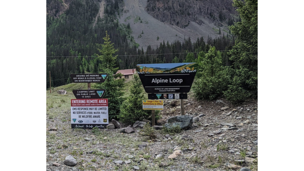
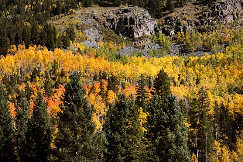
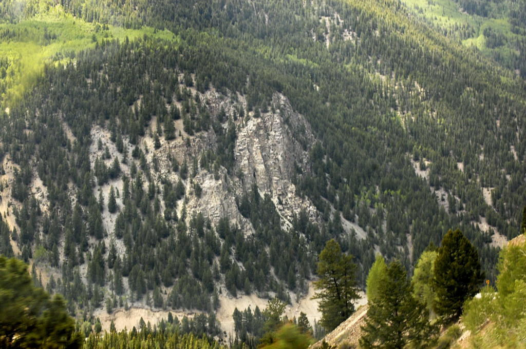
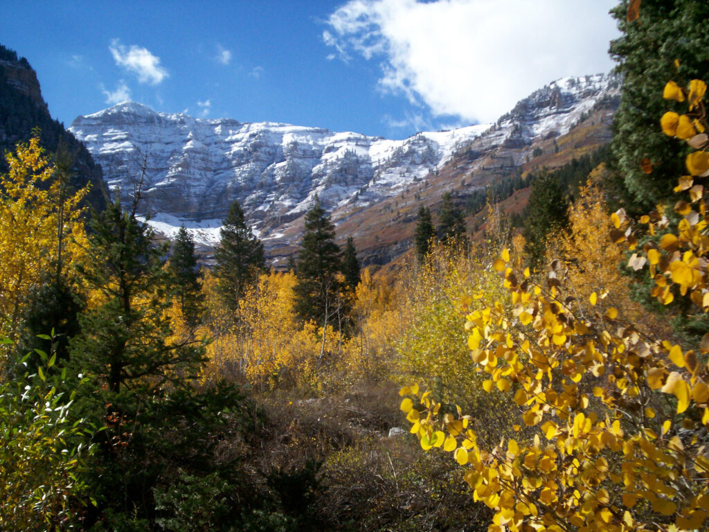

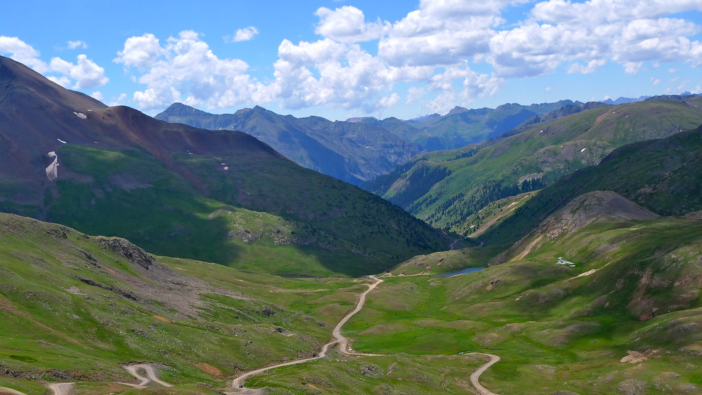
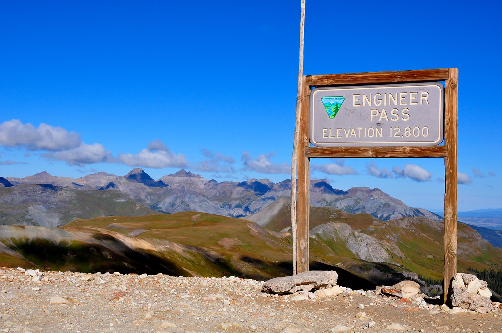

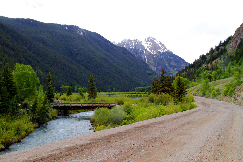
Table of contents
Alpine Loop Overview
Location: Connects Silverton, Ouray, and Lake City, Colorado
Coordinates: 37.9375° N, 107.6906° W
Trail Length: Approximately 63 miles round trip
Elevation: Peaks up to 12,800 feet above sea level
Difficulty: Moderate to Difficult
Overview: The Alpine Loop features a variety of terrains, from easy gravel roads to steep, rocky mountain passes. The main route includes iconic trails such as Engineer Pass and Cinnamon Pass, each offering its own unique set of challenges and spectacular views. Due to the high elevation, the loop is generally only accessible from June to September, when the snow has melted.
Trail Sections and Difficulty Ratings
Cinnamon Pass (Lake City to Animas Forks)
Difficulty: Moderate
Trail Length: 19 miles
Elevation: 12,640 feet at the summit
Overview: Starting from Lake City, Cinnamon Pass offers a gradual climb through dense forests and scenic meadows before reaching the alpine tundra. The trail is rocky with loose sections, but it’s relatively wide and navigable for most high-clearance 4WD vehicles.
Recommended Gear:
- All-Terrain Tires: 31-inch tires or larger for better traction.
- Suspension Lift: A 2-3 inch lift for additional ground clearance.
- Basic Recovery Kit: Including a tow strap and a shovel for minor recoveries.
Engineer Pass (Animas Forks to Ouray)
Difficulty: Difficult
Trail Length: 20 miles
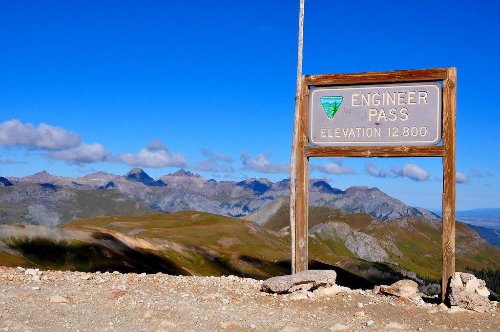
Elevation: 12,800 feet at the summit
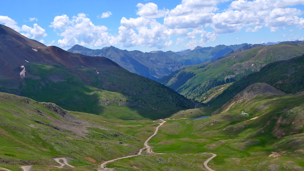
Overview: Engineer Pass is known for its steep switchbacks, narrow shelf roads, and rocky terrain. The views from the summit are absolutely stunning, offering panoramas of the surrounding peaks. This trail is more challenging due to loose rock sections and narrow passages that require careful navigation.
Recommended Gear:
- Winch: A reliable winch like the Warn VR EVO 12 Winches 103254 for self-recovery.
- Differential Lockers: Front and rear lockers for better traction on rocky inclines.
- Rock Sliders: Protect your vehicle’s sides on narrow, rocky sections.
Animas Forks Ghost Town
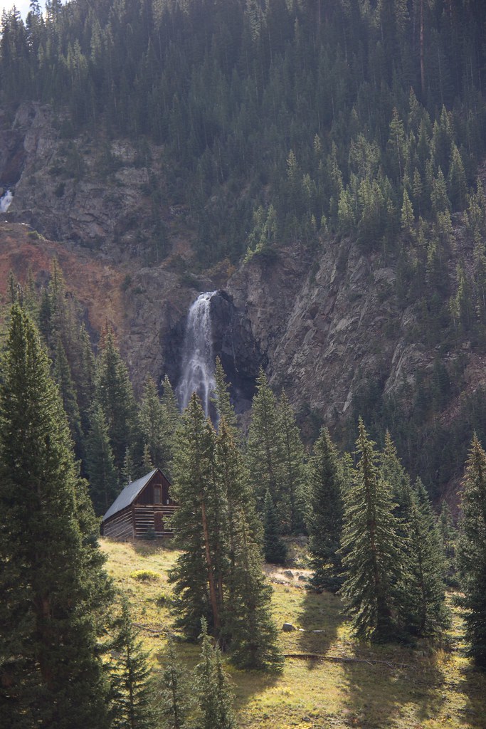
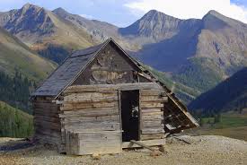
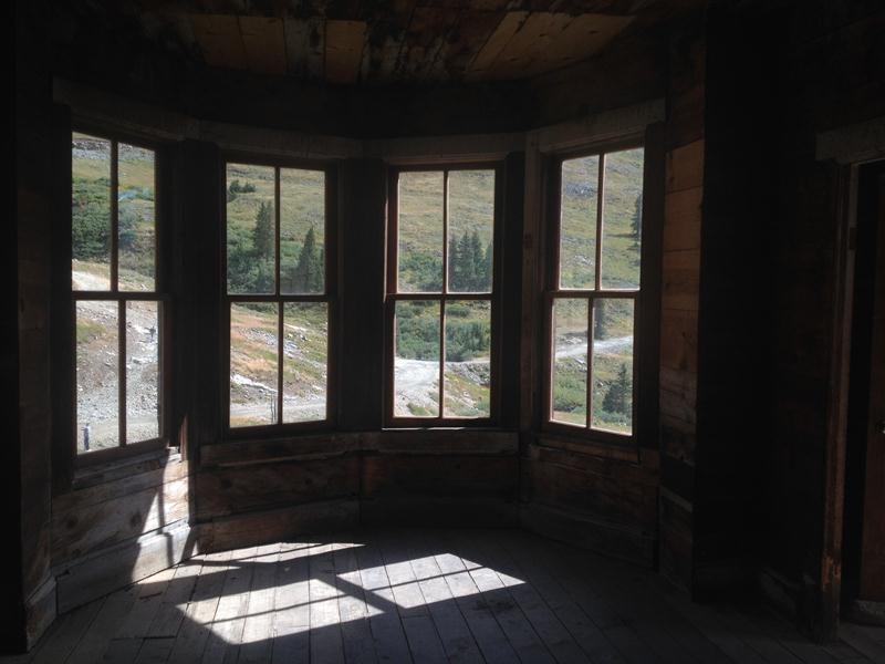
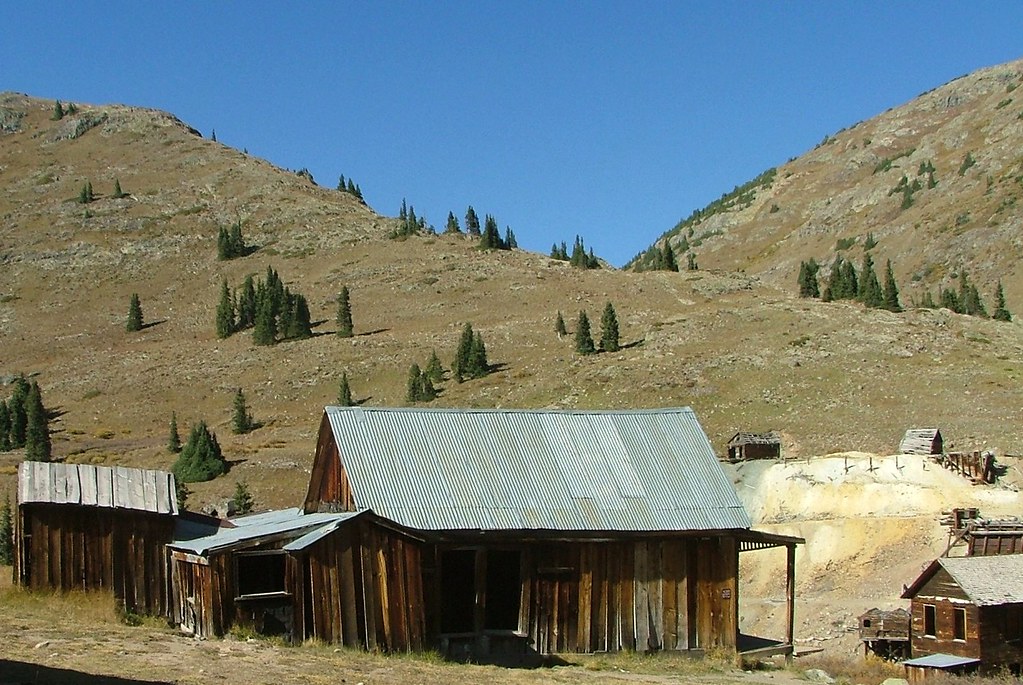
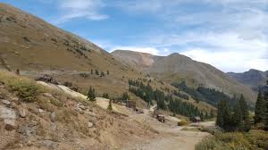
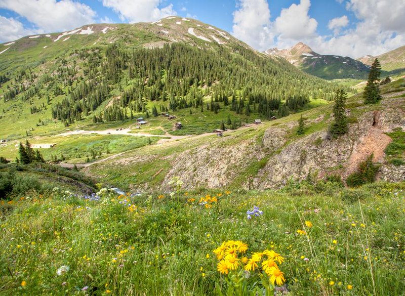
Difficulty: Easy
Trail Length: 3 miles (from main loop)
Elevation: 11,200 feet
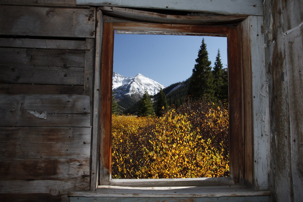
Overview: Animas Forks is a popular stop along the Alpine Loop, offering a glimpse into Colorado’s rich mining history. The well-preserved ghost town is accessible by a short and simple drive from the main loop, making it a wonderful spot for a break and some exploring.
Recommended Gear:
- GPS Navigation: To track your route and find points of interest.
- Camera/Drone: Capture stunning photos of the historic buildings and alpine scenery.
- Air Compressor: To air up or down your tires for different terrain types.
Important Tips for Conquering the Alpine Loop
- Check Weather Conditions: High-elevation passes like Engineer and Cinnamon can experience sudden changes in weather, including snow in summer.
- Travel in Groups: Due to the remoteness of the area, it’s safer to travel with other vehicles.
- Permit Requirements: While permits are generally not required for the main loop, some surrounding areas may have restrictions—always check before you go.
Conclusion: An Alpine Adventure Awaits
The Alpine Loop offers a unique combination of Colorado’s natural beauty and challenging off-road terrain. From the rocky climbs of Engineer Pass to the scenic vistas of Cinnamon Pass, this trail system provides an unforgettable experience for those ready to tackle the rugged terrain. Make sure you’re well-prepared with the right gear, respect the environment, and enjoy the adventure of a lifetime!
