The Rubicon Trail is a legendary off-road route nestled in California’s Sierra Nevada mountains, near Lake Tahoe. Spanning approximately 22 miles, this trail is considered one of the most challenging off-road paths in the United States. The Rubicon, renowned for its steep rocky climbs and technical obstacles, is a must-experience for serious off-roaders.


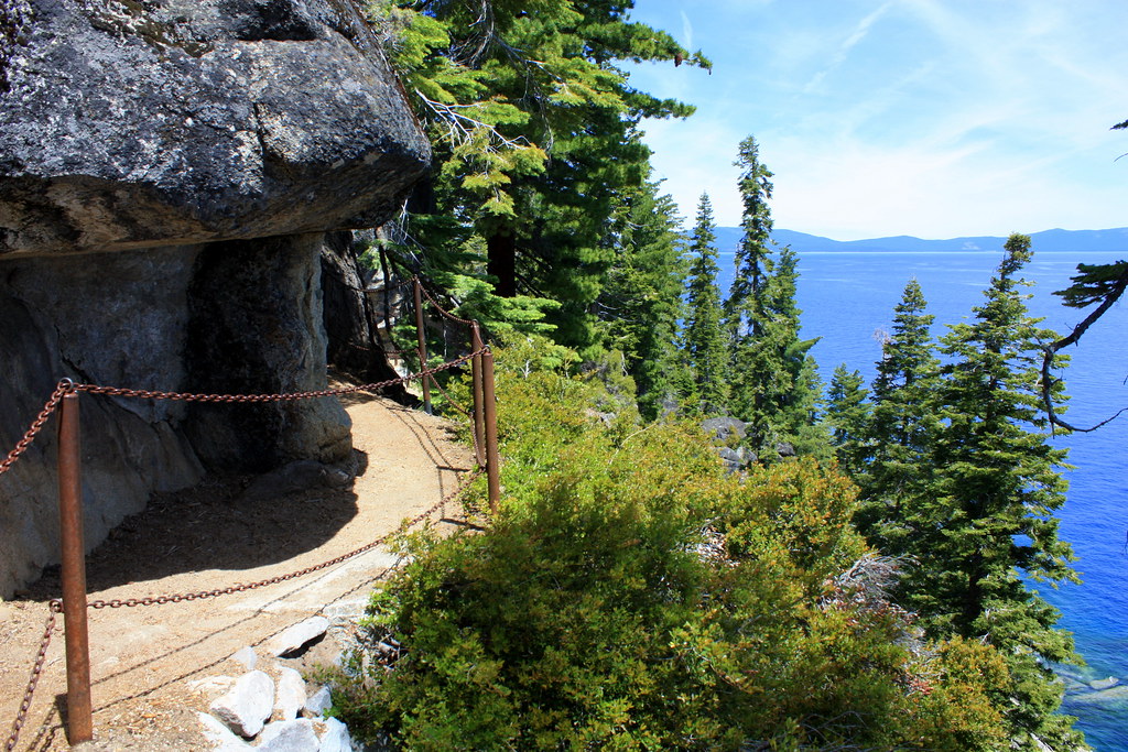
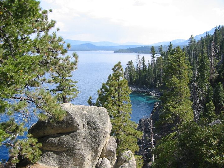
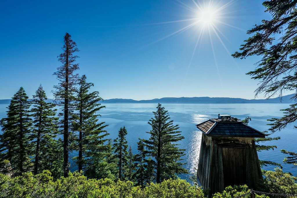
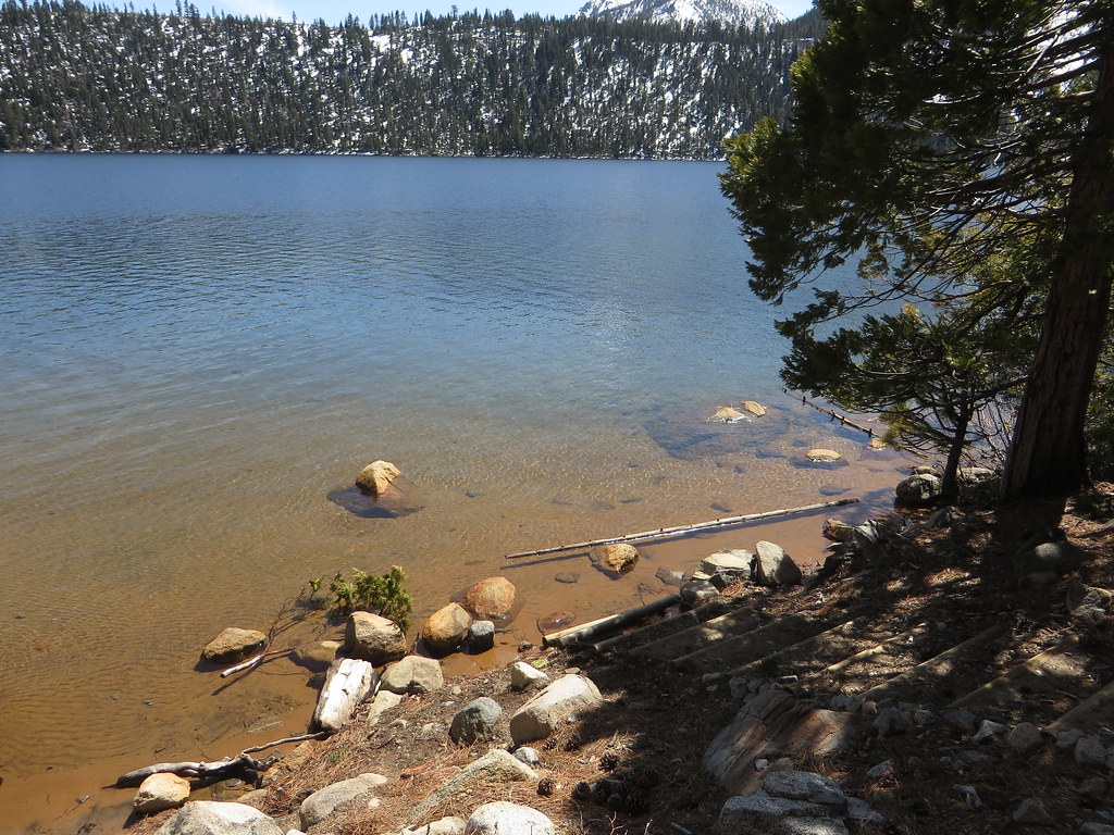

Table of contents
Location and Accessibility
The Rubicon Trail stretches from Georgetown, CA, to Tahoma, near the shores of Lake Tahoe. It passes through parts of the Eldorado and Tahoe National Forests, with elevations ranging from 5,400 to over 7,000 feet. (Trails Offroad) (El Dorado County)
The trailhead typically begins near Loon Lake and heads east towards Rubicon Springs, with several entry points available.
The trail is open year-round, but the best time to visit is from July to September, when snow is less of a concern. This timeframe allows off-roaders to avoid the heavy snowfall that can make the trail impassable in winter. (Overlandsite) (Off-Roading Pro).
Difficulty Rating
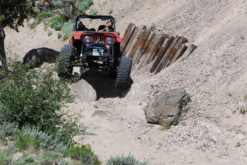
The Rubicon Trail is rated as extremely difficult, earning a 9 to 10 on most off-road difficulty scales. This trail is not for the faint of heart or inexperienced drivers. It features tight, rocky sections like Little Sluice, Soup Bowl, and Big Sluice—all of which require careful navigation. (Trails Offroad) (Off-Roading Pro).
Expect slow progress, as even experienced off-roaders often take 3 to 4 days to complete the trail due to the rugged terrain and frequent stops for recovery or repairs. (Dangerous Roads).

Recommended Gear and Vehicle Requirements
Tackling the Rubicon Trail requires serious preparation. Here’s what you need:
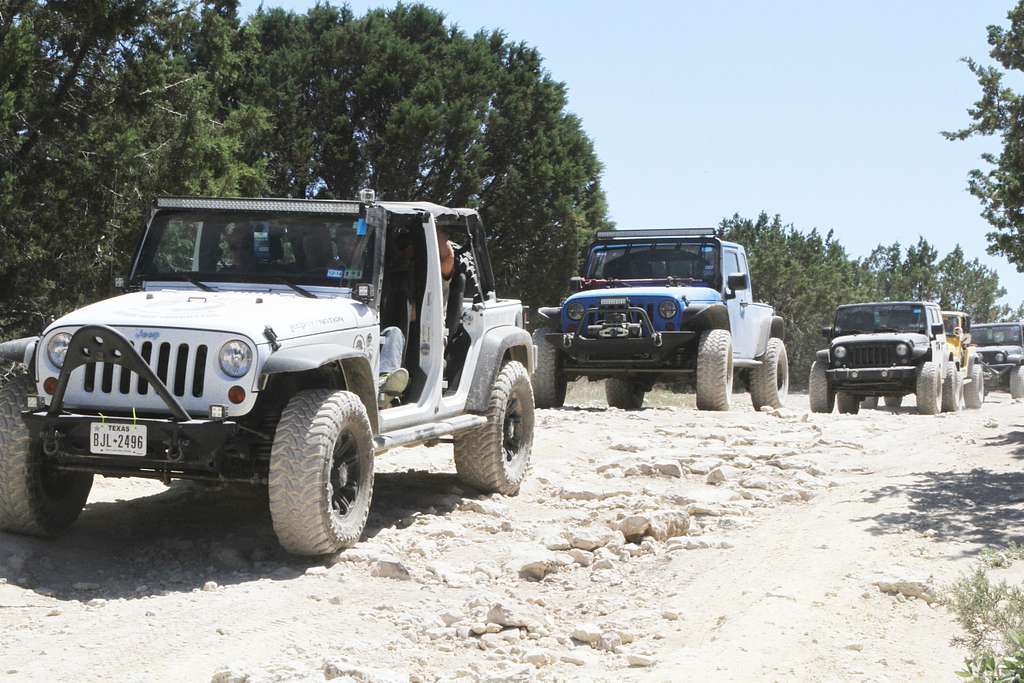
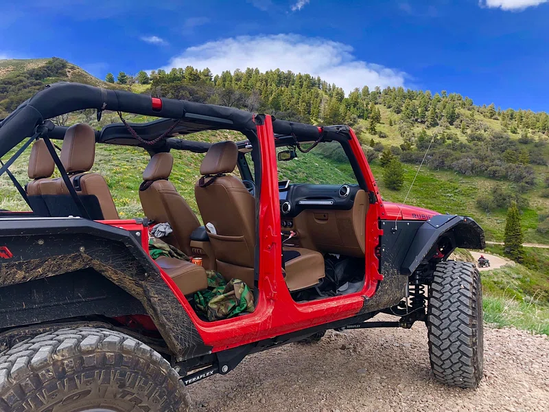
- Vehicle: A 4×4 with high clearance and low-range gearing is a must. Modified Jeeps with at least 33-inch tires and locking differentials handle the rough terrain best. (Overlandsite) (Off-Roading Pro).
- Essential Equipment:
- Winch rated for twice the vehicle’s weight.
- Skid plates to protect vital components like the transmission and gas tank.
- Rock sliders to shield the vehicle’s sides.
- Full-sized spare tire, tire repair kit, and air compressor.
- Recovery gear such as D-ring shackles, recovery straps, and a Hi-Lift jack.
- Safety Gear: fire extinguisher, first aid kit, and satellite communication devices like a Garmin InReach for emergencies.
Campers along the route can set up dispersed camps near Buck Island Lake and Rubicon Springs. However, permits may be needed for campfires, so check with local authorities before you go(El Dorado County).


Additional Resources for Planning
Before embarking on this adventure, it’s essential to familiarize yourself with the trail’s detailed maps and current conditions. For more information, you can explore the following resources:
- Rubicon Trail Foundation: Provides detailed trail maps and updates on trail conditions.
- Trails Offroad: Offers comprehensive guides on the Rubicon and other trails (TrailsOffroad) (Dangerous Roads).
- El Dorado County’s Official Page: Includes regulations, maps, and camping details (El Dorado County).
These resources will help ensure a safe and enjoyable adventure on one of America’s premier off-road trails. Whether you’re a seasoned pro or a passionate off-roading fan, the Rubicon Trail is a challenge worth taking—just be sure to pack carefully and plan for the unexpected.
Stay tuned for more detailed guides on other top off-road trails across the United States!
